01/10/2025
10:37 UTC+1
Page size: 1.024 Mo
load time: 0.04Ms
ce site utilise des cookies_

Geomatics: AI at the service of automotive tests

automotive activity icon in green
activity:
automobile
expertise:
Computer science
Winding road with car headlights on at night, snowy mountains in the background.
plus iconplus iconplus iconplus icon

The Geomatics project meets a crucial need in the automotive industry: the automation of the generation of typical test paths for vehicles.

approach
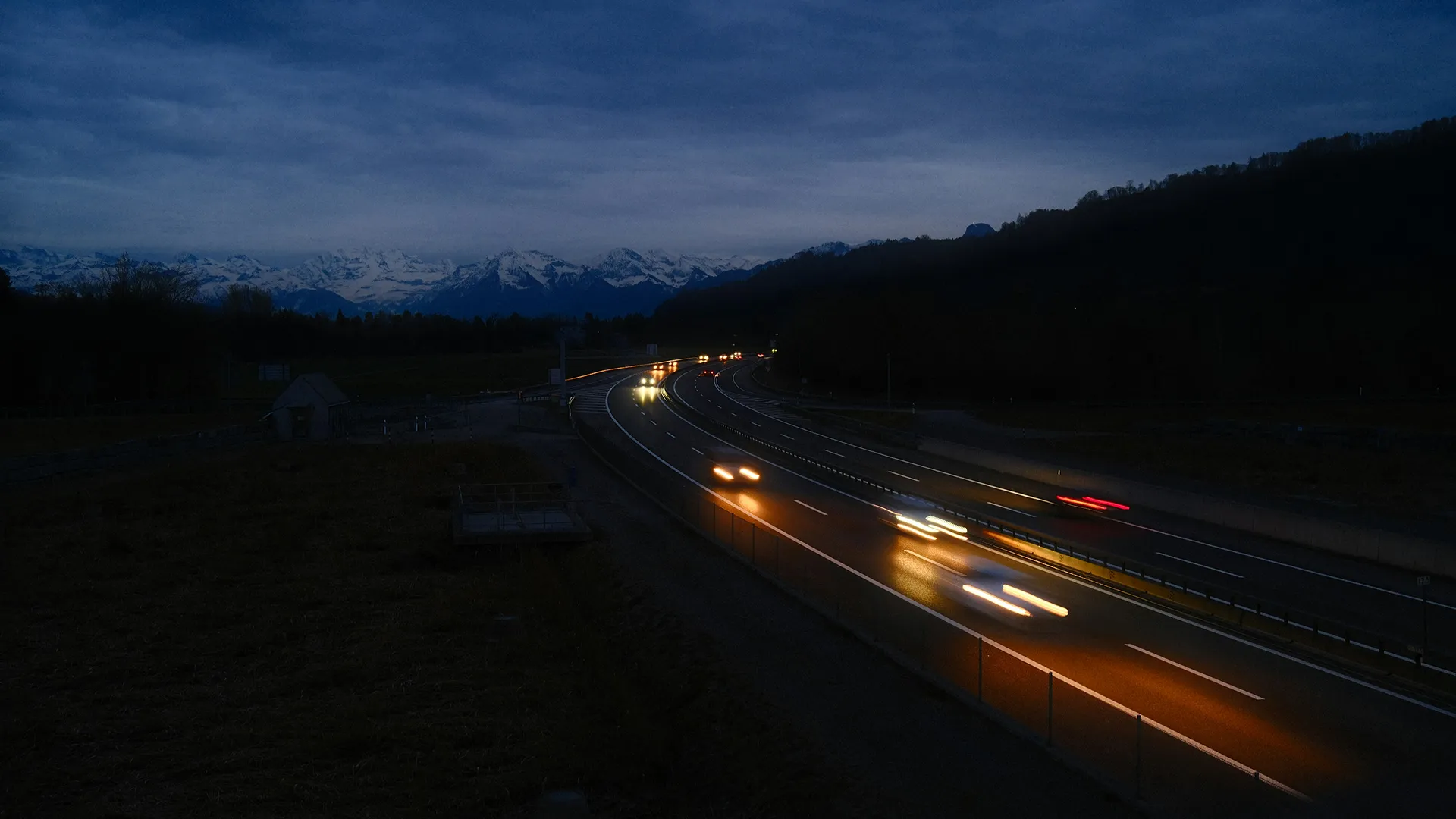
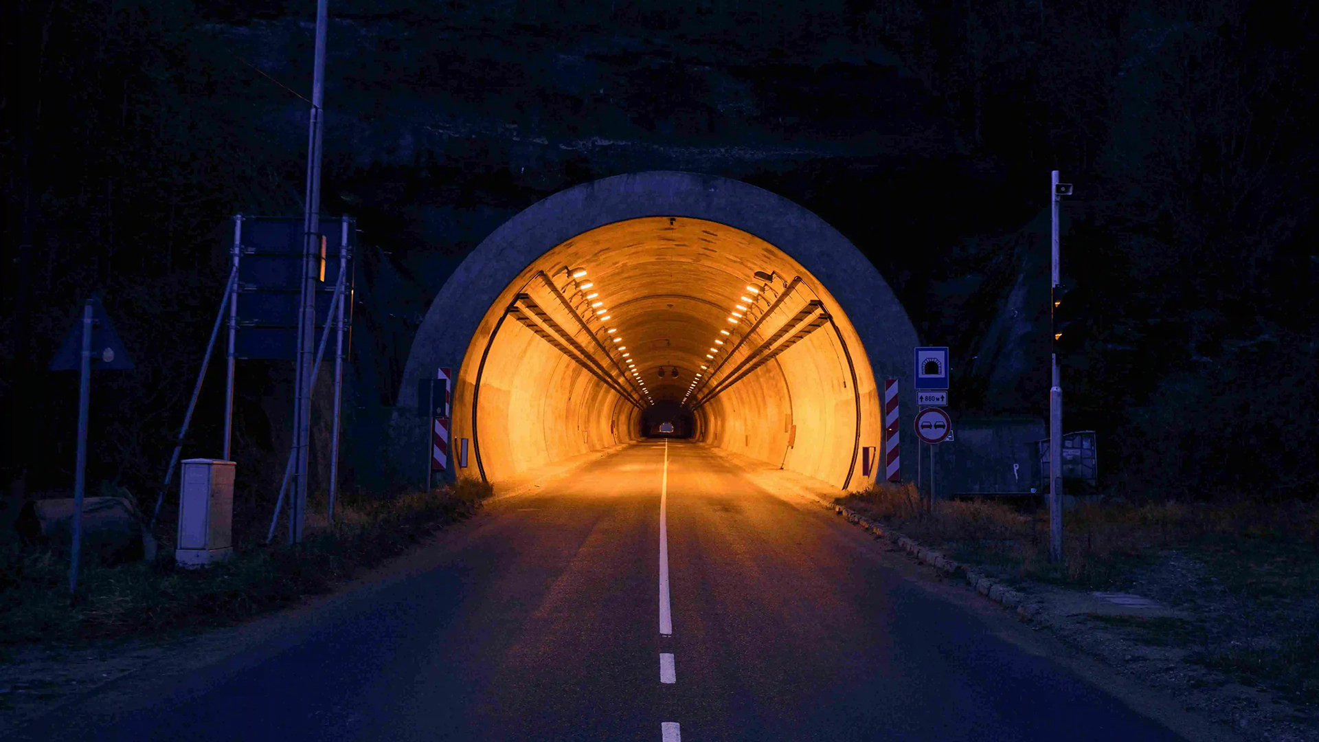
Historically, the creation of these routes — combining specific percentages of urban, rural and highway driving, with slope constraints — was carried out manually, a time-consuming and complex process. The core of the Geomatics project lies in the development of an algorithm capable of automatically generating paths, responding precisely to the instructions provided by the engineering teams.
GEOGRAPHIC DATA
minus iconplus icon
Contains accurate map information from OpenStreetMap, used to build the route and define the areas crossed.
Elevation data
minus iconplus icon
Integrate slopes and terrain from Aster data, essential for modeling the effort and energy spent on the course.
User criteria
minus iconplus icon
Includes parameters defined by the user: starting point, total distance, city/road/highway proportions, and maximum slope threshold.
innovation

THEAI AT THE SERVICE OF AUTOMOTIVE TESTS

The Geomatics project demonstrates how artificial intelligence transforms a complex manual process into a reliable, efficient and repeatable digital solution — perfectly adapted to the needs of engineers.

Photo of Thibaut FRANCE
Thibaut FRANCE
Head of AI division
project
methodology
This project required advanced engineering to manipulate large volumes of geographic data and to design a robust algorithm capable of meeting performance and accuracy requirements. The complexity lay not only in calculating the routes, but also in the ability to generate a diversity of valid routes.
Openstreetmap data processing
minus iconplus icon
Acquisition and processing of a large volume of raw data to generate the road graph around the starting point specified by the user.
ENRICHMENT OF THE GRAPH
minus iconplus icon
Addition of key information: road category (city, country, highway), slopes, speed limits — with adaptation to the specificities of each country.
CLEANING AND SIMPLIFICATION
minus iconplus icon
Extensive work to ensure the consistency of the routes (elimination of U-turns, dead ends, cul-de-sac). An essential step in obtaining reliable and varied courses.
PATH GENERATION ALGORITHM
minus iconplus icon
Intelligent selection of points distributed on the map, calculation of the shortest paths between them and construction of a simplified graph, greatly reducing the complexity of the problem.
prospects

NEW HORIZONS FOR THE GEOMATICS

The skills developed around OpenStreetMap and route algorithms open up opportunities for traffic modeling and advanced analysis of road networks. Do you have a modeling project?

benefits
The Geomatics project offers significant operational advantages to engineering teams:
Substantial time savings
minus iconplus icon
Automation is replacing hours of manual work.
Standardization of tests
minus iconplus icon
Algorithmic generation ensures repeatable and consistent paths.
Optimizing test campaigns
minus iconplus icon
the routes are adapted to the specific needs of engine tests.
Footer Gradient

a single conversation can spark Innovation